
WagnerGuide 3.0
Digital and interactive orientation map
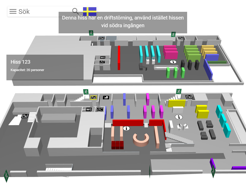
WagnerGuide 3.0 is a digital 3D-based orientation map that helps visitors and staff quickly find locations and access up-to-date information.
www.wagnerwayfinder.com
- BrandBK Interior
Description
Article no.: WAGNERGUIDE
Interactive 3D orientation for public and internal environments
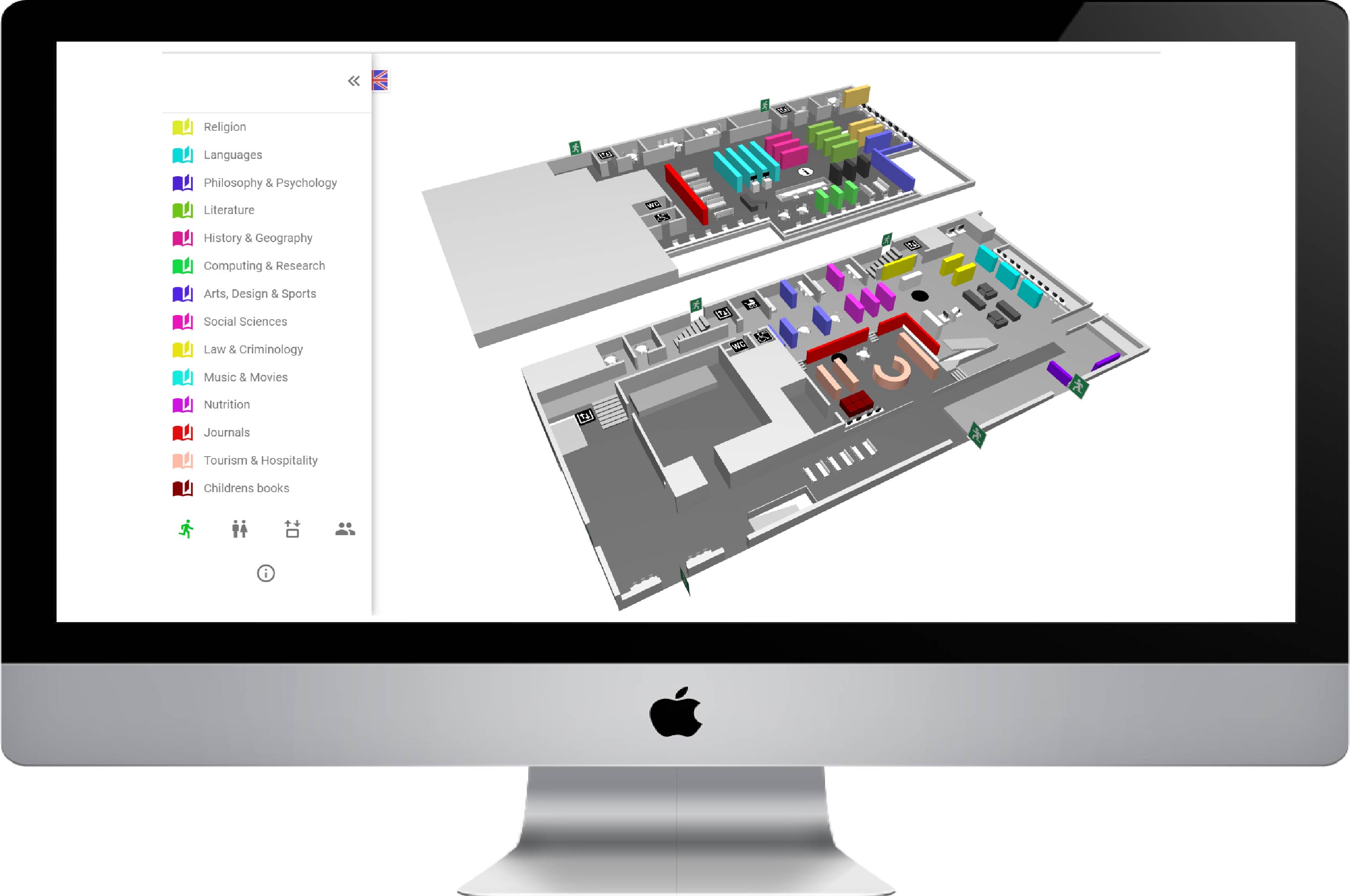
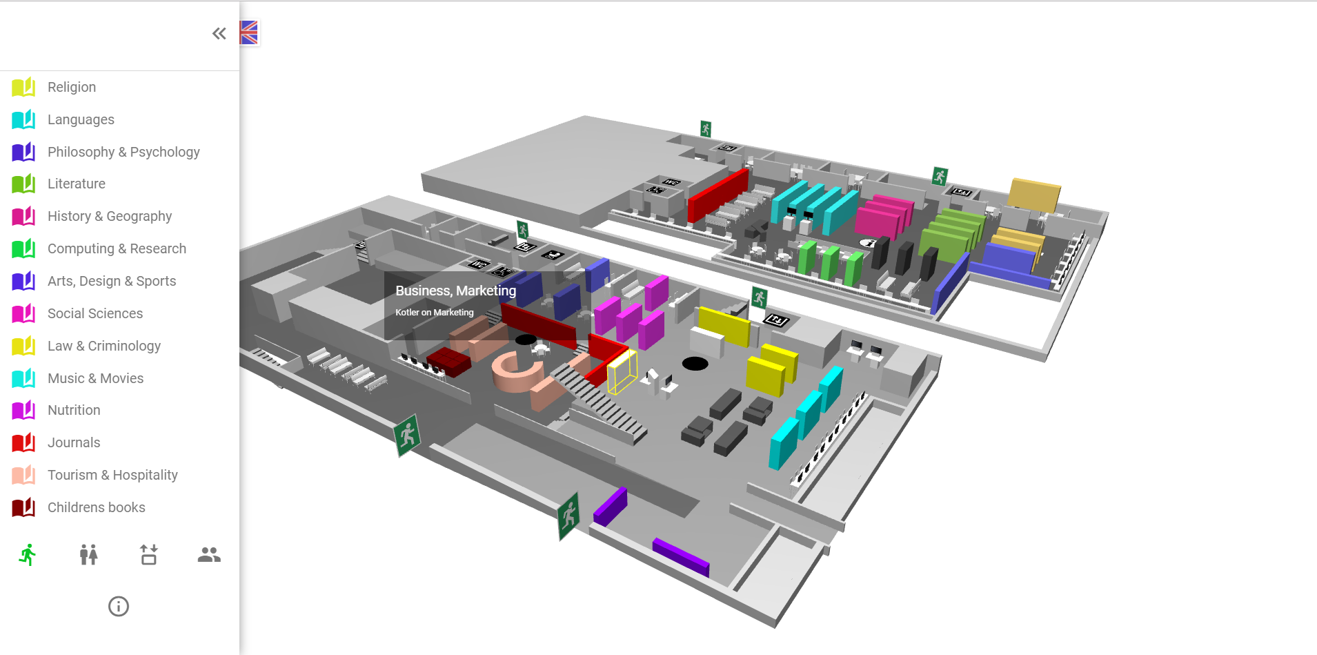
WagnerGuide 3.0 is a digital orientation map used by visitors and staff to locate exactly what they are looking for. The map is built using detailed 3D models of buildings and interiors, creating a clear and intuitive platform for visualisation and communication.
For visitors and the public
Many organisations use WagnerGuide as a public orientation map to help visitors navigate complex environments such as libraries, schools and public buildings.
Internal communication and operational information
WagnerGuide is also used internally. Staff can receive targeted messages about where they need to be during specific events, as well as real-time operational information.
Flexible customisation and editing
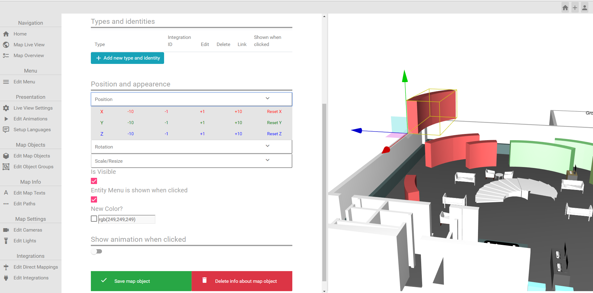
The system is delivered with a standard setup but can easily be customised with logos, menus and 3D objects. Using the editing tool, information and models can be updated to reflect changes in the environment.
Integration with other systems
WagnerGuide 3.0 is designed for integration with systems such as library catalogues, websites and booking systems. Integrated catalogue access allows users to see the exact shelf location of an item.
Användningsområden
Suitable for libraries, hospitals, educational facilities and organisations requiring a visual tool for orientation, information and internal communication.
Files and media
 | Read more! |